How it differs from ArcGIS Dashboards
- Public by default: anyone with the link can read it, with no Esri account and no seat.
- Charts, maps and tables always agree, because they read one filtered set.
- View-for-view rebuilds of the dashboard staff already use, with the filters and exports they wished it had.
- Single-file builds for small programs, PostGIS-backed builds for large ones.
- Your ArcGIS layers stay the source of truth; we only read them.
Where it runs
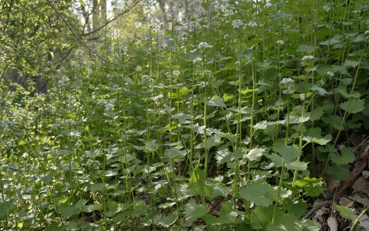
Summit CWMA's Garlic Mustard Games page reads the teams' own Survey123 form and shows pounds pulled, hours, a ranked leaderboard, a share-of-season ring and a pull-station map, five minutes behind reality. The Utah Weed Supervisors Association's statewide snapshot shades 29 counties from the association's ArcGIS layer. Nevada's statewide weed dashboard handles 8,000 records in a single file with seven chained filters.
Questions we are asked
- Does this replace ArcGIS?
- No. Your crews keep collecting in Survey123 and Field Maps. We replace the part where the results sit behind a login, and we add the public view, the exports and the questions a board asks.
- How fast is a build?
- A single-file dashboard on an existing layer is typically two to four weeks from the first conversation to a link you can share.
- What happens when the season changes?
- Dashboards are built around your reporting year. Filters for year, county and species are standard, and the export is designed for the annual report.