 live
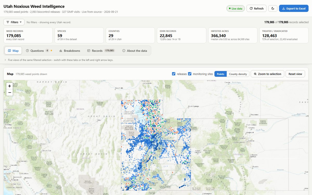
liveEvery Utah weed record, asked four questions
179,085 weed reports, 2,093 biocontrol releases and 327 monitoring visits from three services, read together in one page: a map, four program…
Read the case study → live
liveA county weed site that reads EDDMapS live
Nine pages, 69 weed profiles, a live map with class and species filters, and three forms. Static, no CMS, nothing to patch, and the map is never more…
Read the case study →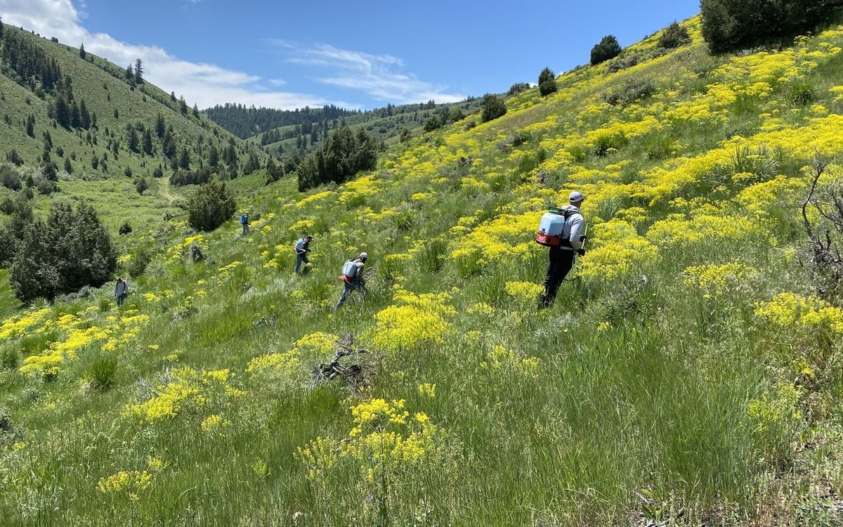 live
liveSix counties, one map, snapshot fallback
79 pages generated from data files for the Northern Utah CWMA. The weed map paints a bundled snapshot instantly, then merges anything new from…
Read the case study → live
liveA volunteer competition with a live scoreboard
The Survey123 form Summit CWMA's Garlic Mustard Games teams already use now feeds a leaderboard, totals and a pull-station map, five minutes behind…
Read the case study → live
liveFifty-four weeds, three photographs each
A weed guide for the Squarrose CWMA with real photographs for every species, an events calendar the board runs itself, and the old site's content…
Read the case study → live
liveA statewide snapshot, county by county
All 29 Utah counties shaded by report volume, with a per-county drill-down: this year, species, share of the state, top five weeds. Built into the…
Read the case study →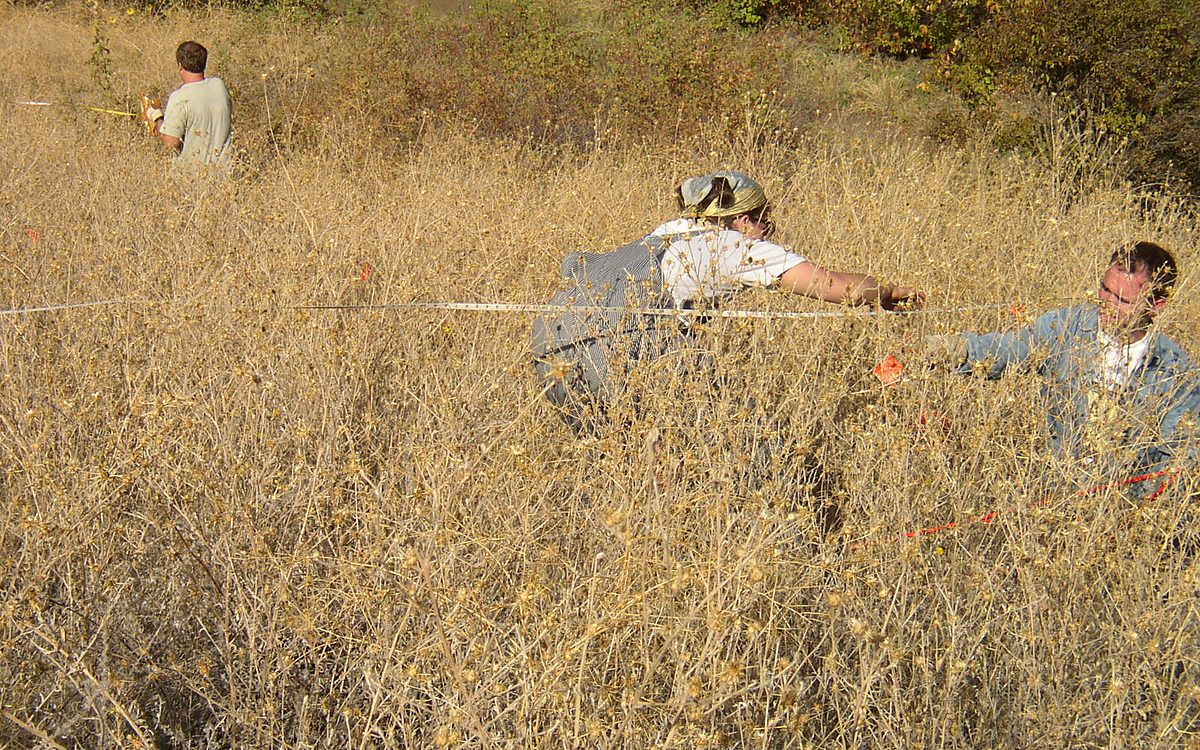 live
liveTwenty-two years of biocontrol data, read as a trend
A monitoring dashboard for an invasive plant biological control program, tracking every release site from 2004 to now. Sites are classified as…
Read the case study → live
liveOne dashboard for the whole western region
A multi-state invasive-species dashboard embedded on westernweed.org, built for the committee that coordinates weed programs across the western…
Read the case study →Web GIS for a statewide noxious weed program
A long-running partnership with the Plant Industry Division. Field crews record infestations and treatments, the division sees the whole state, and…
Read the case study →
A statewide weed dashboard that lives in one file
A complete inventory dashboard that queries the state's ArcGIS REST services live and resolves field names on the fly, so a schema change upstream…
Read the case study →
Produce traceability a two-person packhouse can run
PTI compliance for small growers with GS1 company prefix registration bundled in, guided first label runs, mobile scanning, receiving, and a…
Read the case study →
Six modules on one spatial platform API
Architecture and build for an agricultural land intelligence platform covering field records, weed management, parcel data, cattle, grants, and co-op…
Read the case study →