What we do with EDDMapS data
- Live queries against the EDDMapS API and state SIIPA layers, filtered to your counties, species or years.
- Status decoding (positive, treated, eradicated, negative) and species matching on a normalised common name, so reports from different sources line up.
- Cross-layer questions: joining EDDMapS weed records with biocontrol release history and SIMP monitoring sites to ask whether an agent was released where the weed is.
- Excel export of whatever is selected, with the same numbers that are on screen.
- Reporting forms that post straight into EDDMapS through its API, so public reports land where your program already works.
Where it runs
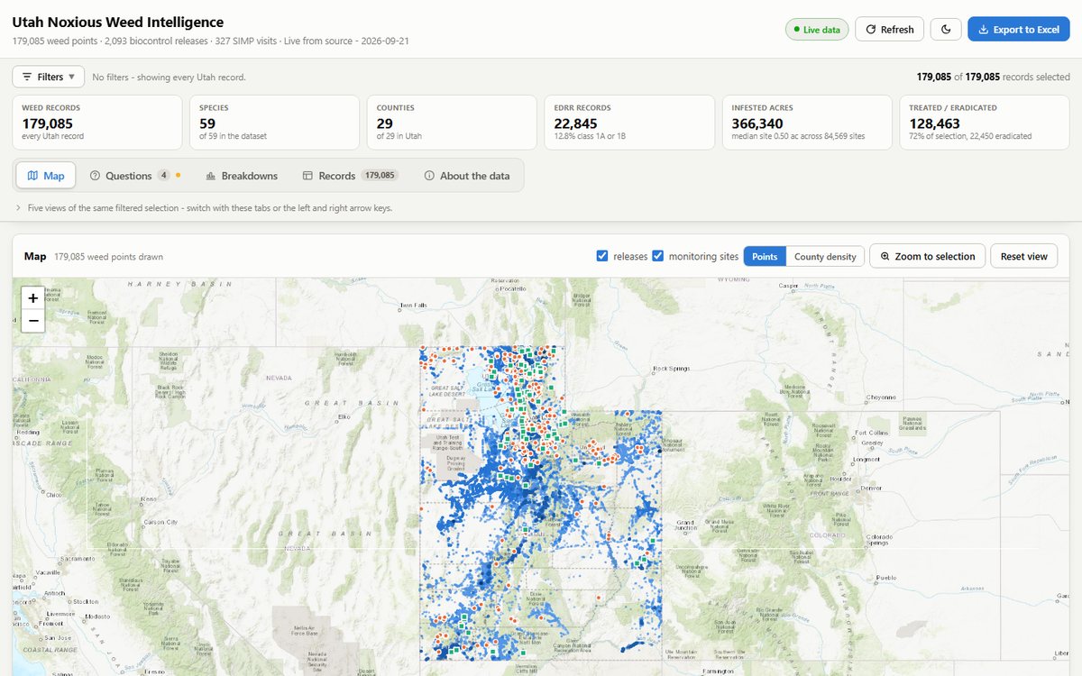
Sanpitch CWMA's public map reads the Utah SIIPA layer. The Utah Weed Intelligence dashboard joins EDDMapS, the state's biocontrol release layer and SIMP monitoring on one page. The Western Weed Coordinating Committee's regional dashboard draws member states' EDDMapS data into one view. Colorado's public reporting form submits through the EDDMapS API.
MIA Consulting is independent of EDDMapS and the University of Georgia's Center for Invasive Species and Ecosystem Health. We build on the data your program already reports there, and the data stays where it is.
Questions we are asked
- Is this an official EDDMapS product?
- No. EDDMapS is run by the University of Georgia. We are a consultancy that builds maps, dashboards and forms on top of the data programs report there.
- Will it break when EDDMapS changes a field?
- Field names are resolved at runtime and every build carries a bundled snapshot as a fallback, so a change upstream degrades gracefully instead of taking the page down.
- Can we export the data behind a map?
- Yes. Our dashboards export whatever is filtered to Excel or CSV, so the number on the board's spreadsheet is the number on the screen.